![]()
![]() CV
CV
![]() Cycling
Cycling
![]() Recumbents
Recumbents
![]() Unicycling
Unicycling
![]() Juggling
Juggling
![]() Other Links
Other Links
![]()
On 31 May 2009 I cycled the length of the Avon ring road cyclepath, intending to identify and photograph the parts that were poorly designed or implemented.
I was pleasantly surprised to find that, for the most part, it was pretty good. From the southern end to Longwell Green the path was too narrow and overgrown, but was pleasant to ride. From Longwell Green to Warmley (my local stretch) it was atrocious (as I already knew), and could probably not be turned into a usable cycle route without ripping it out and starting again. From Warmley onwards, however, it is mostly a good quality, well surfaced, well maintained cycle route of adequate width. There are still a few bad bits, of course, and it's a shame about the long delays at toucan crossings where other roads meet the ring road.
Each of the pictures is presented with an approximate OS grid reference. Click on the picture to see a larger copy, click on the grid reference to see the location in Google Maps
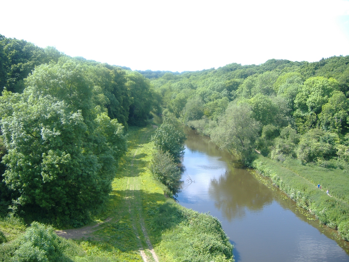 ST 644 703 OK, I know these are supposed to be pictures of the crap bits and I know that my first picture certainly isn't a crap bit, but I couldn't really leave this out. Shortly after joining the joining the ring road at the southern end, it crosses the Avon. This is the view from the bridge, which you don't get to see from the road because of the concrete divider between road and cyclepath. Because I started my ride in Warmley, rode to the northern end of the path, then rode through Bristol to rejoin the path at the southern end, this view came towards the end of my ride, making the whole ride worthwhile. |
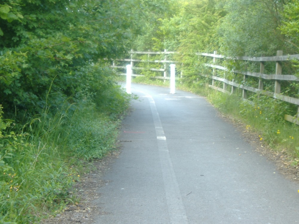 ST 644 705 These two bollards force oncoming cyclists to follow the same line, in the middle of the path, on a blind bend. The Google satellite view shows a rather nasty looking barrier at this point, which thankfully had gone by the time I did my ride. I don't think it was necessary to replace it with bollards, though. |
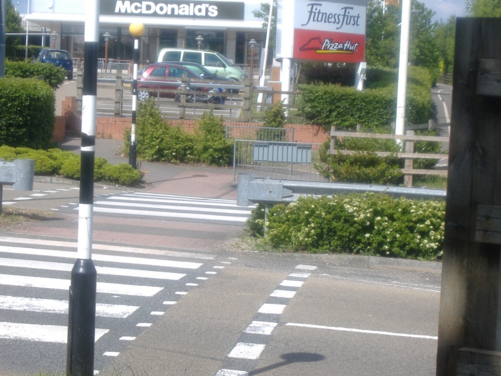
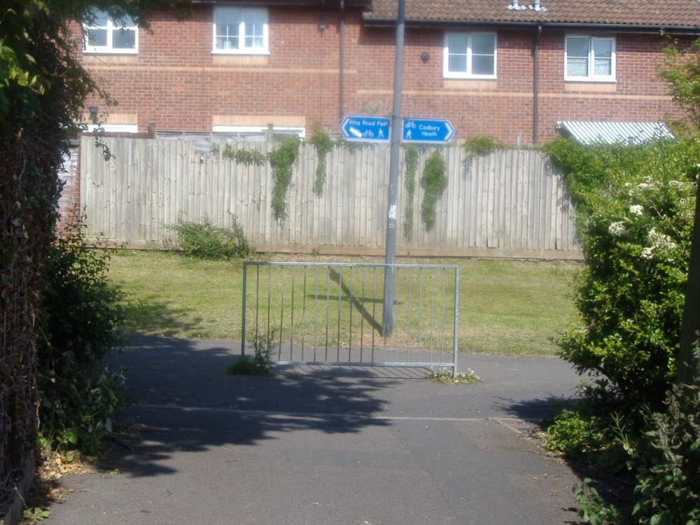
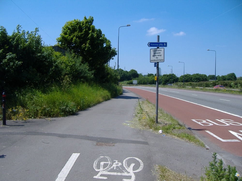
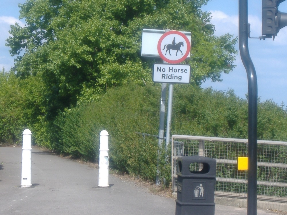 ST 650 718 This sign seems pretty clear... |
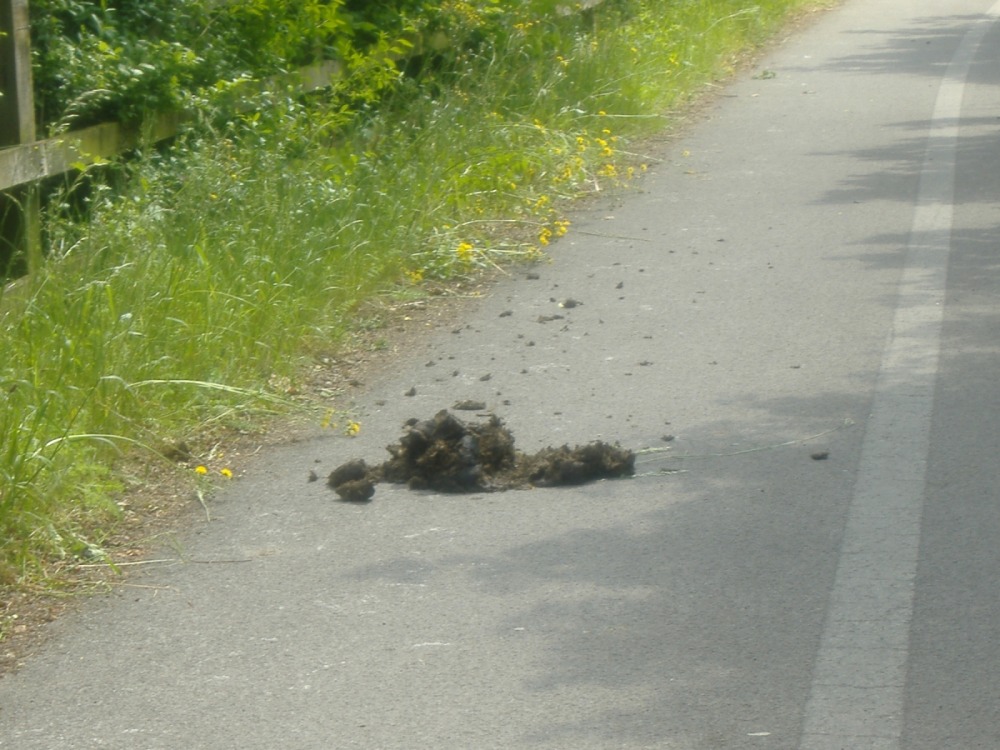 ST 647 715 ...so what's this doing here? It's not the mess I mind (although it's not pleasant), so much as the thought that I could have encountered horses on this narrow path. A horse is a big, strong, stupid animal, easily spooked and able to cause a great deal of damage to whatever spooks it. They have no place on a cycle path. To be fair to the council, I don't know what they can do to keep horses off the cyclepath without also restricting access for cyclists. Perhaps a high barrier that an equestrian would have difficulty passing under without dismounting, but that a tall cyclist on an upright bike would have no trouble with, would help. I'm not going to be the one to suggest cattle grids... |
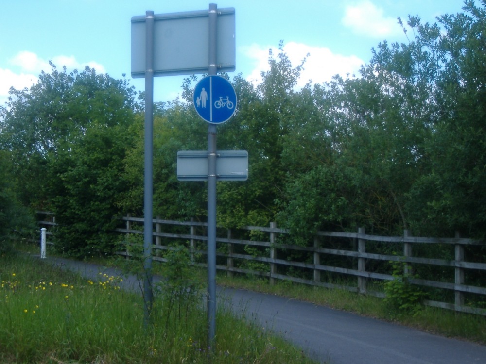 ST 644 705 The path used to be separated into one side for cyclists and one side for pedestrians. The council supposedly recognised several years ago that the path wasn't wide enough for this to be workable (there's no way for two cyclists to safely pass one another without one of them riding on the pedestrian side). That's why the paint markings have been allowed to wear off. So why are there signs showing that the segregation is still in place? It may seem trivial, but that sign means that a policeman or plastic policeman can impose a £30 fine if a cyclist rides on the wrong side of the path. |
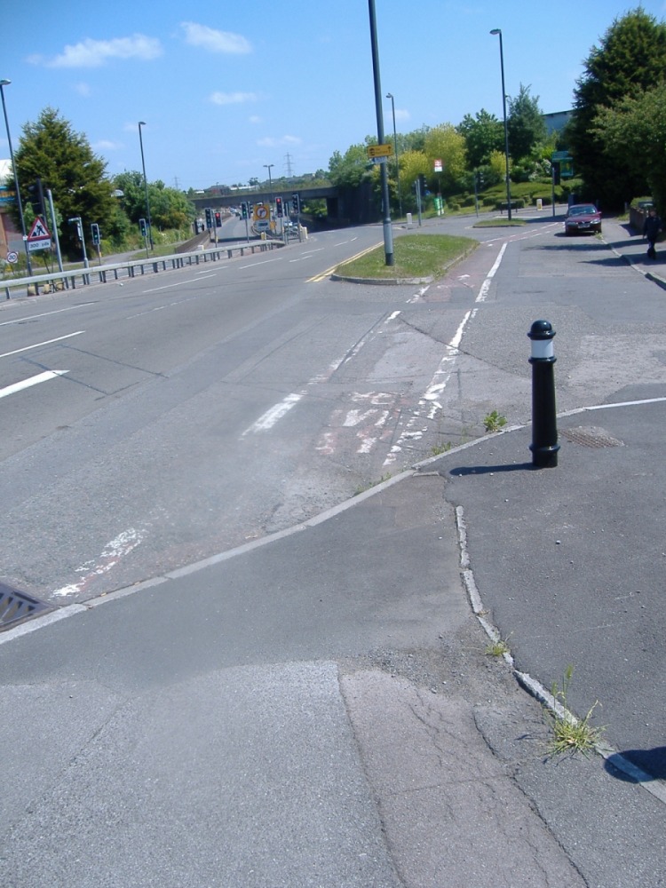
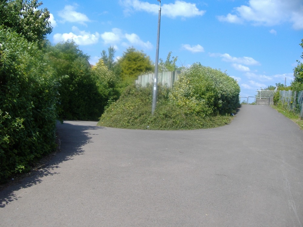 ST 653 721 The path splits here, but there are no signs to help me decide which way to go. As it turns out, you need the right fork if you want Longwell Green Retail Park and the left fork if you want Aspects Leisure Park. Either way is fine if you just want to carry on round the ring road. I went left. |
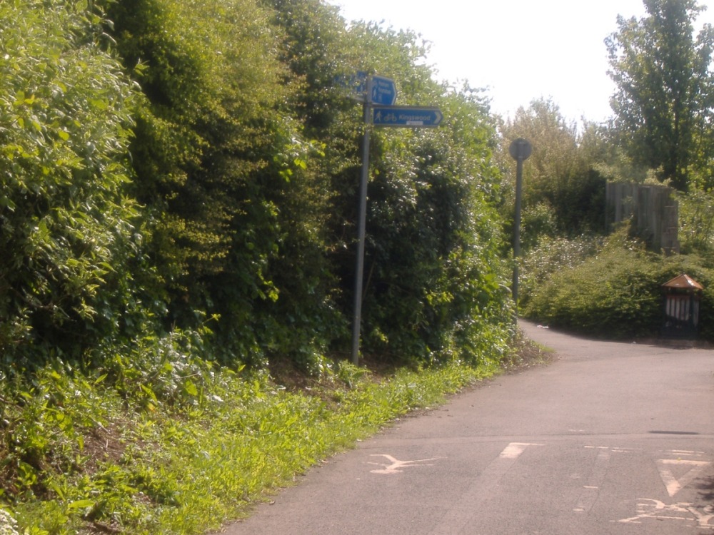 ST 654 722 This is the other side of that split. It's well signposted, this is what I wanted to see when I approached the fork from the south. Of course the signs don't actually matter so much on this side, because when I reach the junction and look to the left I'll see straight away that up the steps is not the way I want to go. |
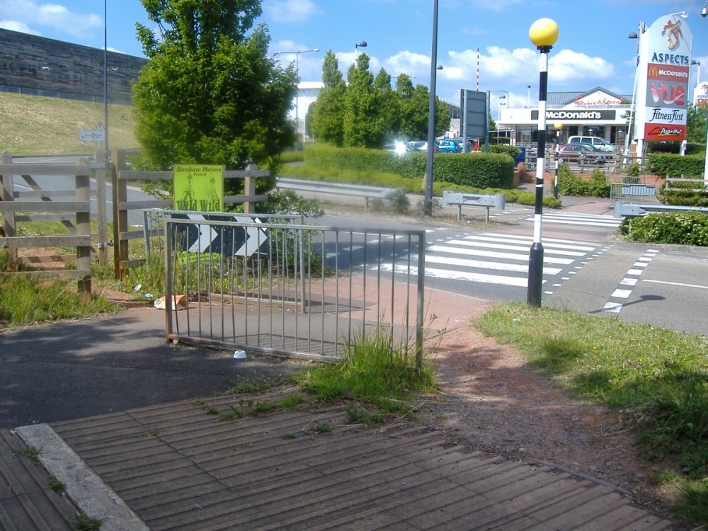 ST 654 723 Barriers designed to make life difficult for cyclists. Actually, I imagine the real reason they're there is to prevent the council being sued if some idiot decides to ride across the crossing without looking. The desire line on the right shows just how effective they are. I followed the desire line. |
 ST 654 723 There are similar barriers on the far side of the crossing. |
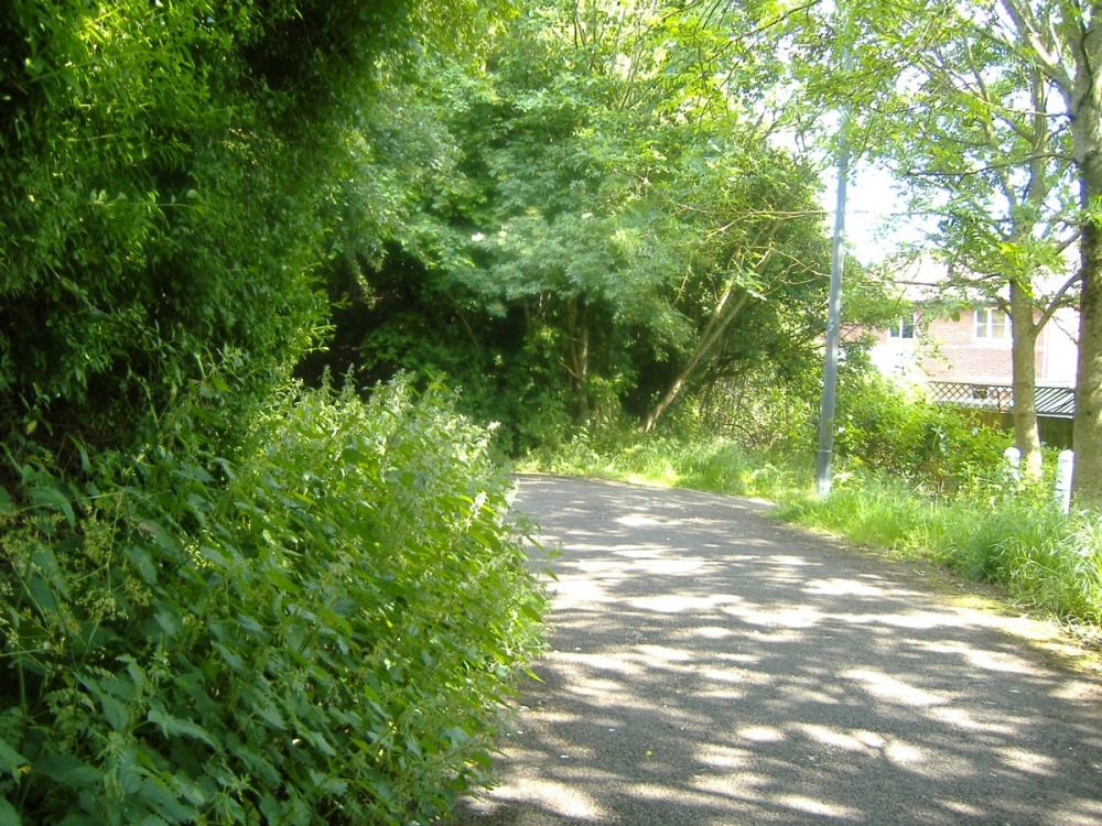
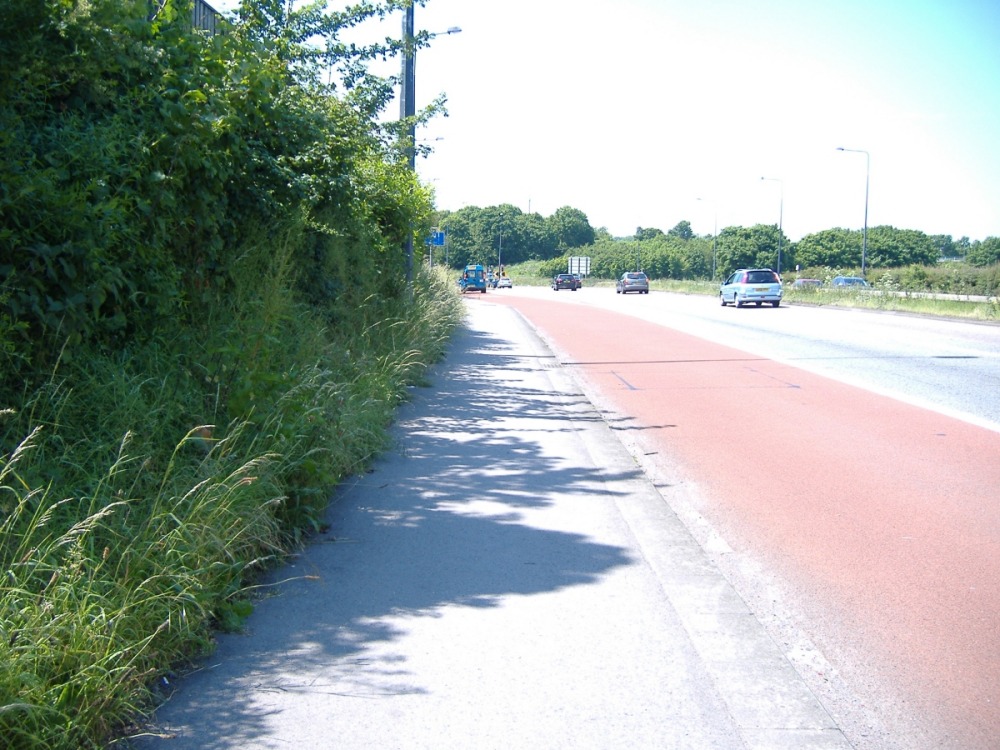
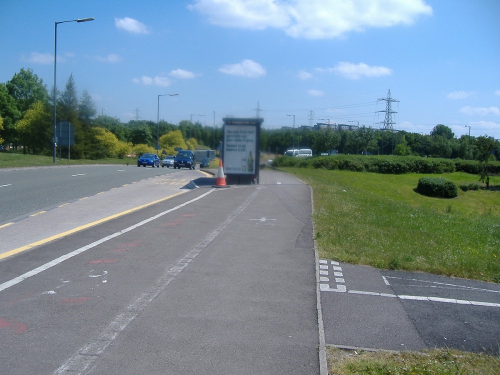
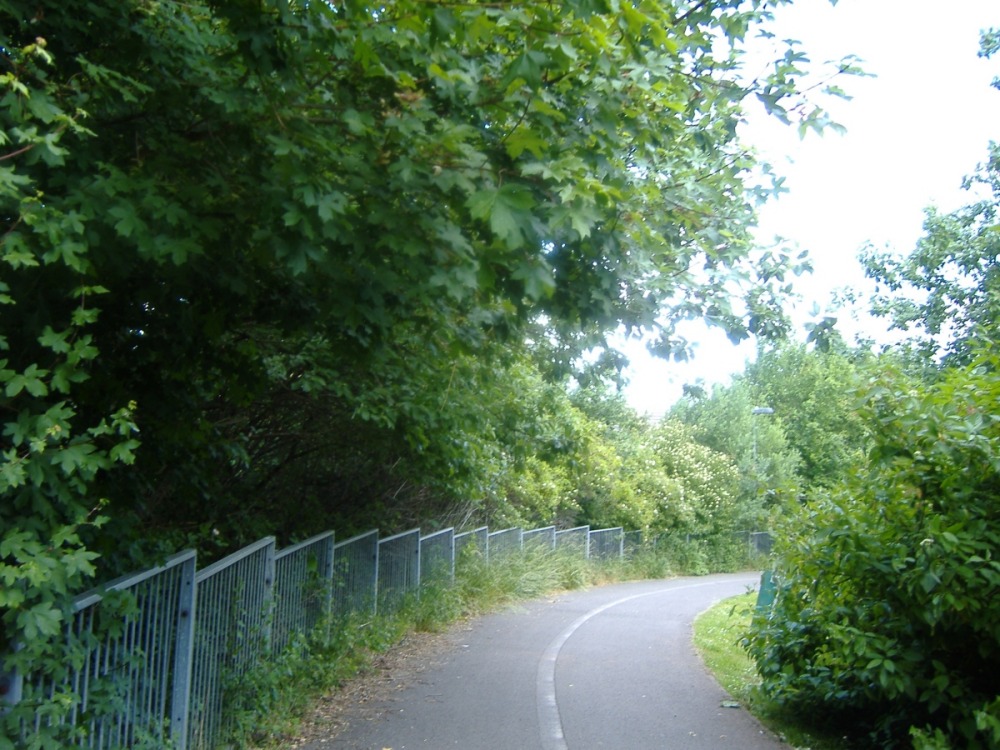 ST 658 715 This picture doesn't show it well, but some of the vegetation could really do with cutting back around here. |
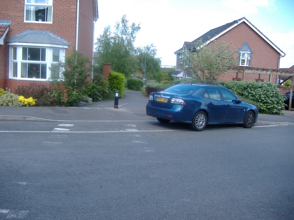 Lacock Drive Cars parked across access points don't help. Parking bays built into those access points don't help to prevent them. |
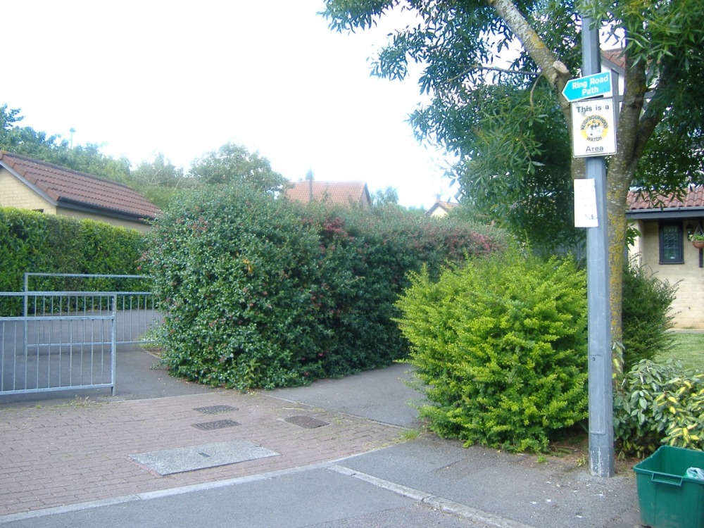 Tintern Close The sign makes it easy to find the path here. Shame about the access. |
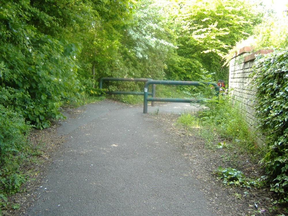
 ST 663 727 Another barrier. |
 ST 663 727 A blind bend... |
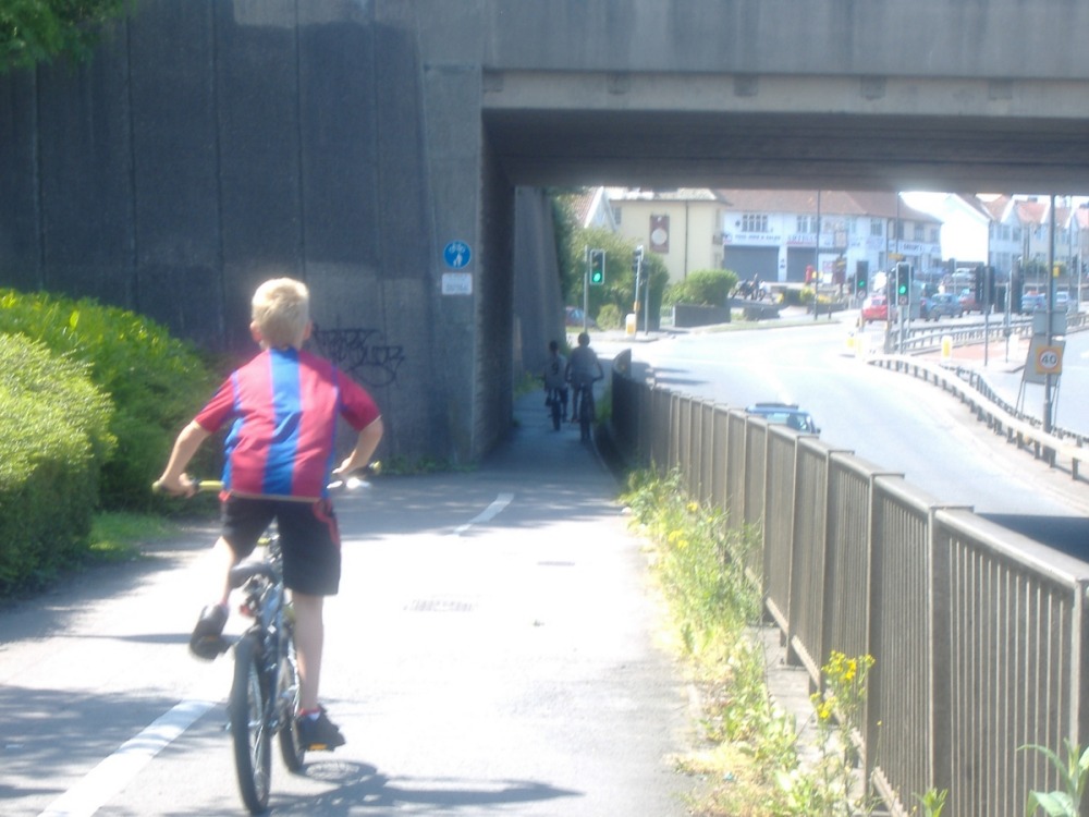
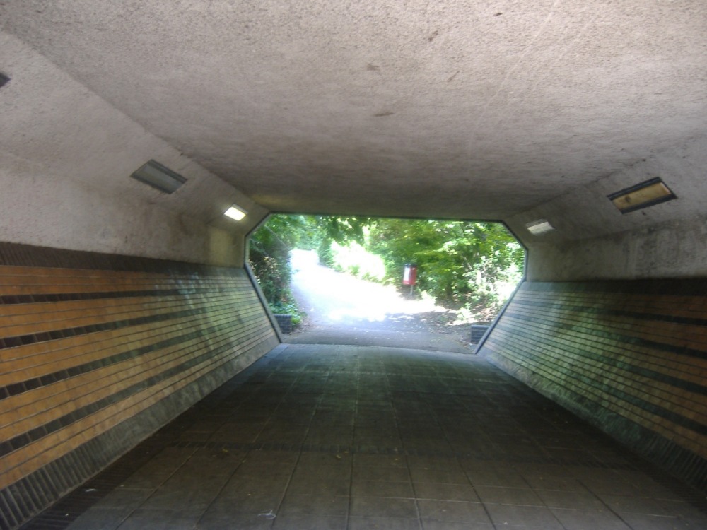 ST 663 727 ...leading to a subway... |
 ST 664 728 ...then a sharp climb up to another blind bend... |
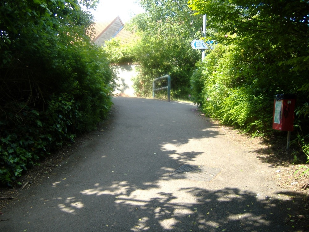
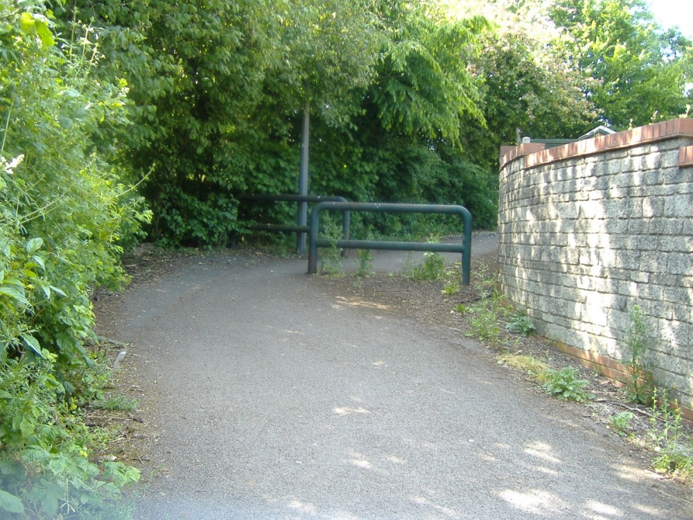 ST 664 728 ...then you hit these nasty barriers, after which there's another blind bend. Still climbing, but those barriers have killed your momentum... |
 ST 664 728 ...then you hit another set of barriers and yet another blind bend! Thankfully it's several miles now before we hit the next crap bit. |
 ST 645 783 The path narrows dramatically to cross the bridge. At least they're using the right signs now. |
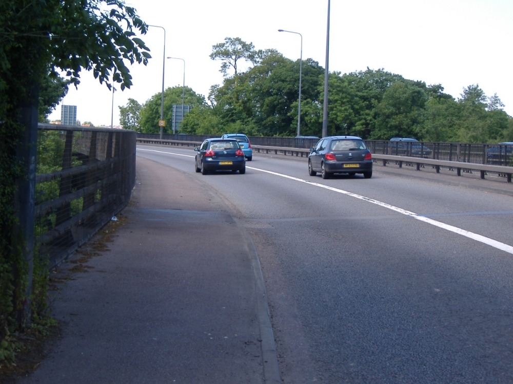 ST 645 783 You wouldn't want to meet someone else coming the other way, particularly when the traffic's heavy. You'd probably be able to get past safely, but there would be no wobble room. I've ridden this bit eastbound a few times at night. I always worry about my headlight confusing oncoming motorists. |
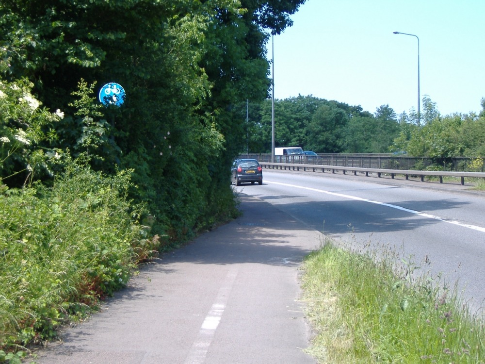
 ST 638 785 The path narrows again. |
 ST 638 785 I certainly wouldn't want to meet someone coming the other way along here. |
 ST 623 786 This blind bend doesn't look quite so blind in the satellite view. |
 ST 613 787 Waiting at this crossing would mean aligning yourself across the pavement on a blind, downhill bend. As it turns out it's probably unlikely that anyone will come round that bend anyway, as a little bit further on the path ends at a gate. But that's by no means obvious when you can't see round the bend. |
 ST 613 787 Oh look, a barrier on the far side of the crossing. A few minutes after taking photos of this junction and the gates of the establishment that it leads into, I met someone who told me it was an MoD establishment. I was probably lucky not to be arrested as a spy! |
 ST 614 788 Ah, that old classic "Bus Shelter in the Middle of a Cycle Path." It wasn't a problem on a quiet Sunday afternoon, but I bet this bit's 'orrible in rush hour. |
 ST 611 788 It's a shame the path has to narrow to go under the bridge. I imagine the bridge was probably there first, and I can't see it being worth the cost of fixing it. The end is in sight. |
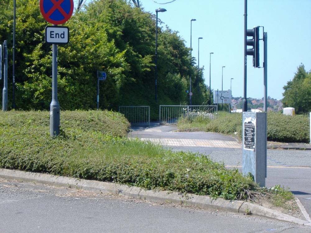
 ST 610 789 As far as I could tell, this is the end of the ring road cycle path. I had to go back and look for it, after noticing (within a few yards, it has to be said) that the path I was riding on no longer appeared to be a cycle path. This could really do with being more clearly marked! |
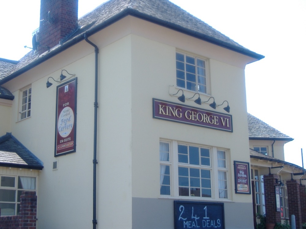 ST 610 789 Pub. I wish I'd stopped for a pint, now. I had a lovely chat with some drinkers in the car park. |
Video 29/05/15. |
Danny
![]() CV
CV
![]() Cycling
Cycling
![]() Recumbents
Recumbents
![]() Unicycling
Unicycling
![]() Juggling
Juggling
![]() Other Links
Other Links
![]()
![]()
Note on browser compatibility - I hope that this site will be easily accessible in all browsers. If you experience any problems viewing this site, please let me know what the problem is, what browser you're using and, if possible, where I can obtain a copy for testing.